
Sea Kayaking Between Steep Fjord Walls
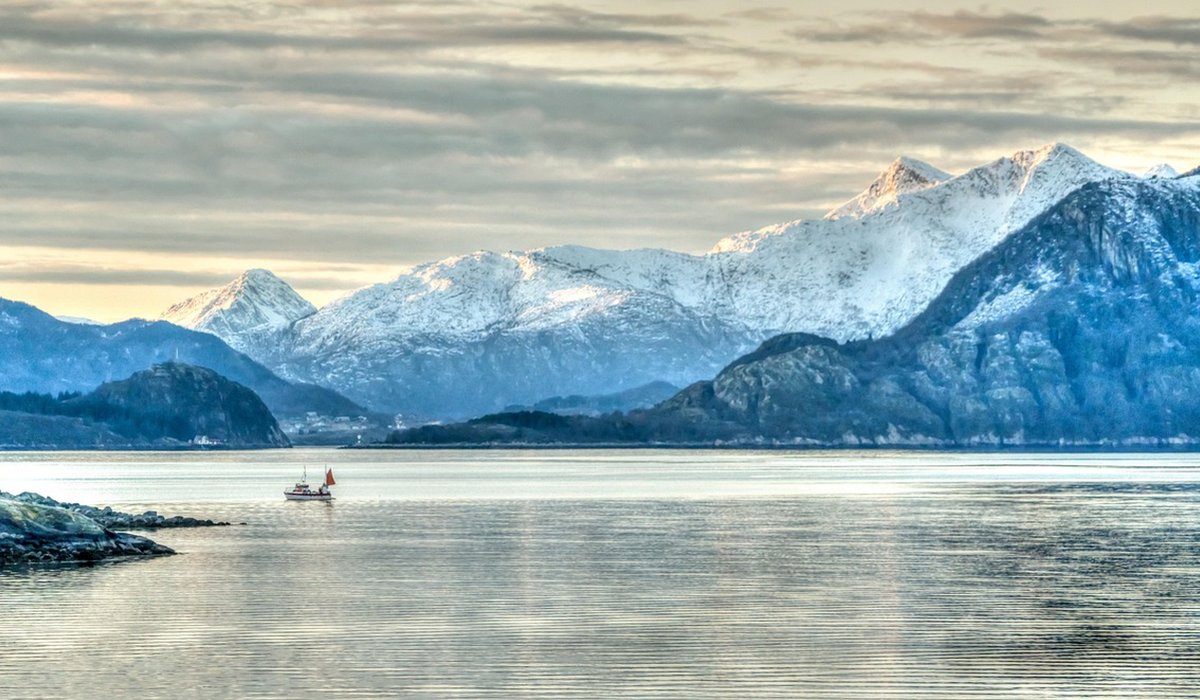
Why These Villages Suit First Mountain Days
The Sognefjord is a serious piece of geography — over a thousand metres deep, with mountains rising straight from the water in places. But the slopes immediately above its villages are far gentler than the postcard drama suggests. Old farm tracks, summer-farm paths and sheep routes crisscross the lower hillsides, and most of them deliver a proper view within an hour of leaving the shoreline. That is the appeal of places such as Balestrand, Vik, Leikanger, Solvorn and the quiet hamlets along the Lustrafjord arm: you can have a real mountain day without committing to a real mountain epic.
The trick is to treat your first outings as a warm-up rather than a challenge. Short ascents, clear paths and reliable transport home are what make a beginner day enjoyable, and they also teach you the skills you will need later.
What a Good Beginner Trail Looks Like
Look for a path that is marked, used and honest about its effort. Norwegian trails are usually waymarked with a red-painted T on rock, post or tree, and junctions are often signed with place names and times. Take those times seriously: they assume a steady pace with stops, but they do not account for a long lunch or a wrong turn.
For a first outing, a good shape is a return trip of three to five kilometres with no more than about 250 metres of ascent — roughly one to two hours up, and rather less down. Anything described as a stølsveg (a summer-farm track) is usually a safe bet, as these were built for carts and animals rather than climbers. Surfaces tend to be gravel, grass or bedrock, and the gradient rarely exceeds what you would manage while chatting.
Three Gentle Shapes of Walk to Look For
Rather than chasing a single famous viewpoint, match the route to your energy on the day. Ask at the village information point or your accommodation for the local marked trails, and check that the route is described as a round trip or a there-and-back.
- The summer-farm climb. A track winding up past wooden støl buildings, often around 150–250 metres of ascent to a grassy shelf with a wide view back over the fjord. Usually the best picnic spot for the least effort.
- The woodland contour. A near-level path through birch and pine, following an old boundary or water channel. Ideal in poor weather, when cloud hides the tops but the forest still feels generous.
- The viewpoint spur. A short, steeper pull — perhaps 20 minutes of effort — onto a rock outcrop or cairn, then the same way back down. Good for testing your legs and your boots before a longer day.
Distances and timings vary from village to village, so treat any figure as an estimate and give yourself a generous turnaround time. Turning back with something in reserve is a habit worth building early.
Picnic Spots, Weather and the Midge Question
The reward for all this gentle climbing is lunch with a view. Look for flat bedrock slabs, the grassy apron in front of a summer farm, or a cleared patch beside a stream. Avoid perching on the very edge of a steep drop — fjord air moves quickly, and what feels calm at the car park can be gusty 200 metres higher.
Pack a windproof layer even on a warm morning, plus a spare fleece, and carry more water than you think you need. Norwegian mountain weather changes fast, and a sunny start is no promise of a sunny finish. Midges are most troublesome in still, humid conditions in July and August, particularly near boggy ground below the tree line; a head net weighs almost nothing and can rescue an otherwise lovely afternoon.
Bus Links, Ferries and Coming Back Down
One of the great pleasures of this region is that you can walk one way and ride the other. Local buses run along the fjord roads between villages, and ferries cross the water at several points, turning a linear walk into a satisfying loop without a car. Schedules thin out outside the main summer weeks, though, so check the day before and again in the morning.
Be cautious about roads and tunnels. Many fjord-side roads have no footway, and some tunnels are closed to pedestrians and cyclists entirely. Ask locally before walking through, and take the bus or ferry instead if there is any doubt. Tell someone where you are going and when you expect to be back — mobile coverage is patchy in the side valleys.
Knowing When to Step Up
You are ready for a longer mountain day when a two-hour outing feels comfortably easy, when you can read a map and a waymark without hesitation, and when you can judge how quickly you actually walk uphill. Build up gradually: add an hour, then another, before attempting a five- or six-hour route with a proper summit.
Carry a paper map and compass as well as a phone, start early, and set a firm turn-around time. The villages above the Sognefjord will still be there next summer — and the best views, as ever, belong to those who know when to stop.
LEAVE A COMMENT